File:Nr PGA map.png
From SCECpedia
Jump to navigationJump to search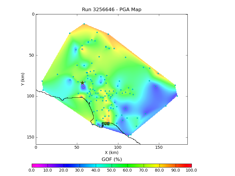
No higher resolution available.
Nr_PGA_map.png (800 × 600 pixels, file size: 79 KB, MIME type: image/png)
MO-GoF PGA Map Plot generated by Broadband platform for Northridge validation workflow.
File history
Click on a date/time to view the file as it appeared at that time.
| Date/Time | Thumbnail | Dimensions | User | Comment | |
|---|---|---|---|---|---|
| current | 10:02, 21 April 2011 | | 800 × 600 (79 KB) | Sandarsh (talk | contribs) | MO-GoF PGA Map Plot generated by Broadband platform for Northridge validation workflow. |
You cannot overwrite this file.
File usage
The following 2 pages use this file: