Difference between revisions of "Central California GMPE Maps"
From SCECpedia
Jump to navigationJump to search (Created page with "Below are various Central California GMPE Maps. {| | File:Central_CA_GMPE_3s.png |- | File:Central_CA_GMPE_Vs30.png |- | File:Central_CA_GMPE_Z1.0.png |- | File...") |
|||
| (2 intermediate revisions by the same user not shown) | |||
| Line 2: | Line 2: | ||
{| | {| | ||
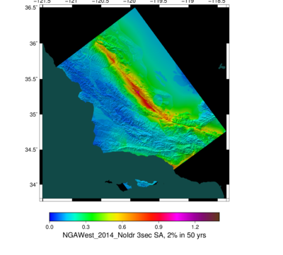
| − | | [[File:Central_CA_GMPE_3s.png]] | + | | [[File:Central_CA_GMPE_3s.png|400px|thumb|3 second basemap using NGA-2s.]] |
|- | |- | ||
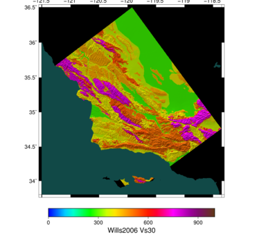
| − | | [[File:Central_CA_GMPE_Vs30.png]] | + | | [[File:Central_CA_GMPE_Vs30.png|400px|thumb|Vs30 map, from Wills 2006]] |
|- | |- | ||
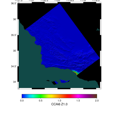
| − | | [[File:Central_CA_GMPE_Z1.0.png]] | + | | [[File:Central_CA_GMPE_Z1.0.png|400px|thumb|Z1.0 map, from CCA-06.]] |
|- | |- | ||
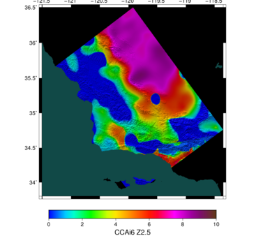
| − | | [[File:Central_CA_GMPE_Z2.5.png]] | + | | [[File:Central_CA_GMPE_Z2.5.png|400px|thumb|Z2.5 map, from CCA-06.]] |
| + | |} | ||
| + | |||
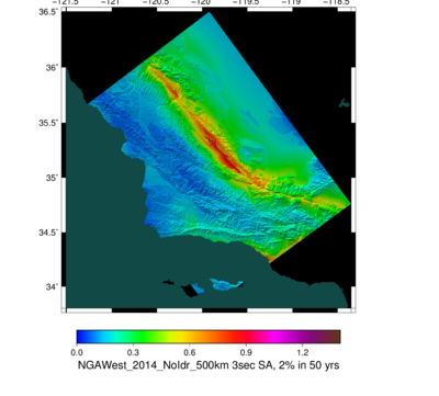
| + | We did a comparison between a 200 km cutoff and a 500 km cutoff; we see practically no difference (170790 of 170794 stations are numerically identical). | ||
| + | |||
| + | {| | ||
| + | | [[File:Central_CA_GMPE_3s.png|400px|thumb|3 second basemap, 200 km cutoff using NGA-2s.]] | ||
| + | | [[File:Central_CA_GMPE_3s_500km.png|400px|thumb|3 second basemap, 500 km cutoff, using NGA-2s.]] | ||
|} | |} | ||
Latest revision as of 21:43, 8 September 2016
Below are various Central California GMPE Maps.
We did a comparison between a 200 km cutoff and a 500 km cutoff; we see practically no difference (170790 of 170794 stations are numerically identical).
