Difference between revisions of "Study 16.9 Velocity Plots"
(→s1252) |
|||
| Line 55: | Line 55: | ||
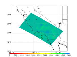
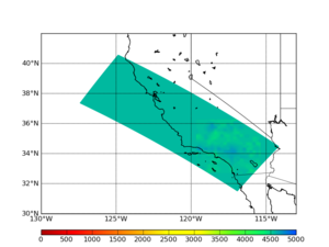
| [[File:s1252_CCA_depth287_horiz_slice.png|thumb|300px|Horizontal cross-section, depth=50.225 km]] | | [[File:s1252_CCA_depth287_horiz_slice.png|thumb|300px|Horizontal cross-section, depth=50.225 km]] | ||
|} | |} | ||
| + | |||
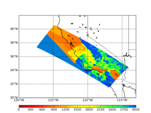
| + | To verify that the 900 m/s cutoff is being correctly applied, we created a plot with a modified color scheme, here: | ||
| + | |||
| + | [[File:s1252_CCA_depth0_horiz_slice_alt_colors.png|thumb|300px|Horizonal cross-section, depth=0 km]] | ||
=== Vertical Plots === | === Vertical Plots === | ||
| Line 72: | Line 76: | ||
|} | |} | ||
| − | |||
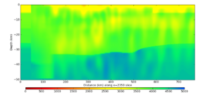
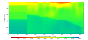
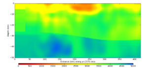
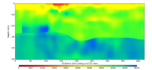
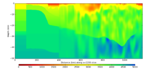
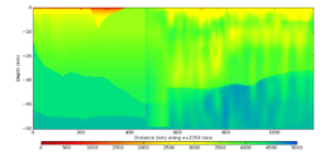
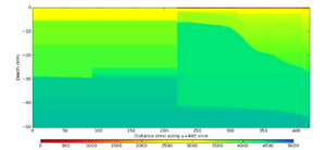
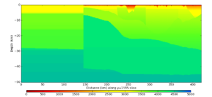
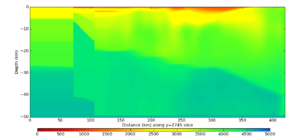
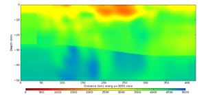
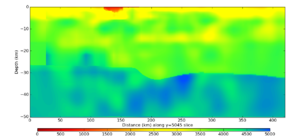
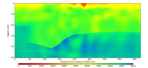
Cross-sections parallel to the X (short) axis: | Cross-sections parallel to the X (short) axis: | ||
Revision as of 03:51, 10 December 2016
Contents
s001
s001 is one of the overlapping sites, near Ventura. The volume is 2400 x 4400 x 288 grid points (420 x 770 x 50.4 km).
These plots were constructed using CCA, CVM-S4.26, and the 1D model.
Horizontal Plots
Vertical Plots
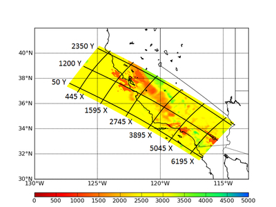
Here's a plot showing where the cross sections come from:
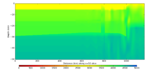
Cross-sections parallel to the Y (long) axis:
Cross-sections parallel to the X (short) axis:
s1252
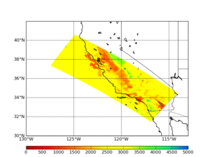
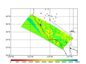
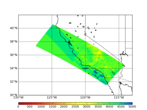
s1252 is a site in the mountains near the San Andreas and just far enough north to include northern San Andreas events within the 200 km cutoff.
These plots were generated using CCA, USGS Bay Area, and CVM-S4.26.
Horizontal Plots
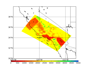
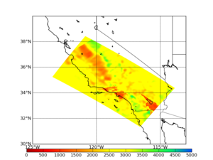
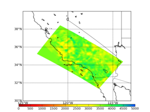
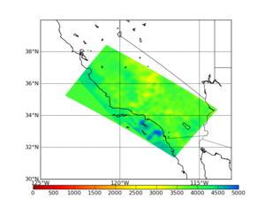
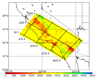
To verify that the 900 m/s cutoff is being correctly applied, we created a plot with a modified color scheme, here:
Vertical Plots
Here's a plot showing where the cross sections come from:
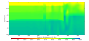
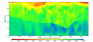
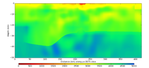
Cross-sections parallel to the Y (long) axis:
Cross-sections parallel to the X (short) axis:
