CEM How to generate tiles for leaflet basemap
From SCECpedia
Contents
create new basemap for leaflet
goal: to create leaflet basemap overlay layer
georeference a png image file
Install QGIS from qgis.org
// With a png file, Create georeferenced tif image with QGIS // >>QGIS dashboard-load openstreet map-georeferencer-pick coordinates from map to referencer-export tiff image // Create tiles from the georeferenced image with gdal2tiles: (pip install gdal2tiles) // gdal2tiles.py -e --zoom=6-16 georeference_image.tif output_folder
Run QGIS
     Start a new project
         first icon with a blank paper
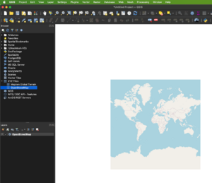
         load a map
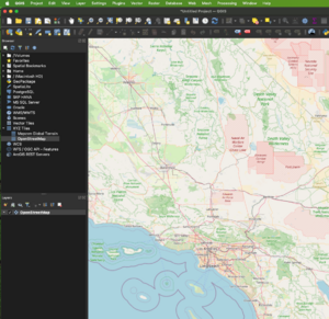
                Select XYZ Tiles and OpenStreetMap and zoom to region of interest
     Load a png that needs to be geo-referenced
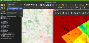
         select Layer -> georeferencer
         select open-raster and load the png file
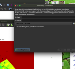
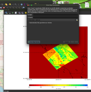
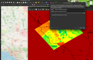
     Mark several map coordinates
          select 'From Map Canvas' and mark the matching location at the background map(remember to click OK)
             There will be a matching marker on the background map and georeferencer map
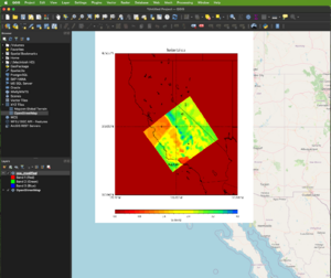
     Georeference and Export a tif file
          select georeferencing and exit


