Difference between revisions of "CVM-SI"
| Line 3: | Line 3: | ||
[[File:cvmsi_i5_vs_0m.png|256px|thumb|right|CVM-SI i5 map plot of Vs at depth 0m.]] | [[File:cvmsi_i5_vs_0m.png|256px|thumb|right|CVM-SI i5 map plot of Vs at depth 0m.]] | ||
| − | CVM-SCEC Improved (CVM-SI), is a 3D seismic velocity model based upon [[CVM-S]] with changes. Perturbations have been applied to this model as a result of iterations of inversion simulations by Chen et al (2011). | + | CVM-SCEC Improved (CVM-SI), is a 3D seismic velocity model based upon [[CVM-S]] with changes. Perturbations have been applied to this model as a result of iterations of inversion simulations by Chen et al (2011). The model is expressed as a 3D grid of 1536 x 992 x 100 cells with a grid spacing of 500 m. The four corners of the model region are: |
| − | |||
| − | The model is expressed as a 3D grid of 1536 x 992 x 100 cells with a grid spacing of 500 m. The four corners of the model region are: | ||
<pre> | <pre> | ||
| Line 16: | Line 14: | ||
The map projection is a modified UTM zone 11 projection. The velocity model is C/Fortran code and associated files that are downloaded, compiled, and run locally. The user queries the models by creating an input file of latitude, longitude, and depth values, and the model returns Vp, Vs, and density at each of those points. | The map projection is a modified UTM zone 11 projection. The velocity model is C/Fortran code and associated files that are downloaded, compiled, and run locally. The user queries the models by creating an input file of latitude, longitude, and depth values, and the model returns Vp, Vs, and density at each of those points. | ||
| + | This improved model has been imported into UCVM and is referenced with the model label "cvmsi". | ||
Revision as of 23:55, 5 July 2011
Overview
CVM-SCEC Improved (CVM-SI), is a 3D seismic velocity model based upon CVM-S with changes. Perturbations have been applied to this model as a result of iterations of inversion simulations by Chen et al (2011). The model is expressed as a 3D grid of 1536 x 992 x 100 cells with a grid spacing of 500 m. The four corners of the model region are:
  -116.00000000000000        30.449999999999999
  -122.30000000000000        34.783499999999997
  -118.94748257396012        38.303452459152524
  -112.51822905852465        33.781862621842393
  -116.00000000000000        30.449999999999999
The map projection is a modified UTM zone 11 projection. The velocity model is C/Fortran code and associated files that are downloaded, compiled, and run locally. The user queries the models by creating an input file of latitude, longitude, and depth values, and the model returns Vp, Vs, and density at each of those points. This improved model has been imported into UCVM and is referenced with the model label "cvmsi".
Iteration 5
The latest version of this model is iteration 5. Map and profile plots of version I5.
Differences with CVM-S4
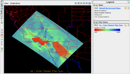
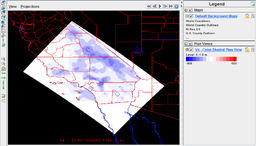
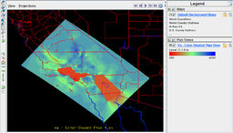
The plots at right show a difference map of i5 - i0, followed by a plot of the starting model, i0, for reference.
A 3D mesh of the entire CVM-S/CVM-SI region has been extracted at 2km resolution into netCDF format in the "CF" convention. These meshes may be loaded into IDV (IDV) for viewing:
- CVM-SI i5 : i5 mesh file (25MB)
- CVM-SI i0 (Starting model) : i0 mesh file (25MB)
- CVM-SI i5-i0 (difference): difference mesh file (25MB)
The difference plot uses a custom color table which may be downloaded from Velocity Difference Color Table and imported into IDV.
Download CVM-SI
CVM-SI may be checked out from SVN with these commands:
svn co https://source.usc.edu/svn/cvmsi/trunk
No released, prepackaged distribution of this software currently exists.
References
- Chen, P., Lee, E., Jordan, T. H., Meachling, P. J., Denolle, M., & Beroza, G. C., 2011, Full-3D Waveform Tomography for Southern California, 2011 SSA Annual Meeting, Memphis, TN
- Lee, E., Chen, P., Jordan, T. H., Meachling, P. J., Denolle, M., & Beroza, G. C., 2011, Full-3D Waveform Tomography for Southern California, 2010 AGU Fall Meeting, San Francisco, CA


