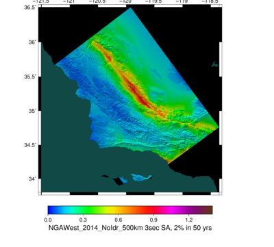
Central California GMPE Maps
From SCECpedia
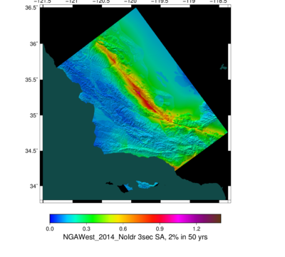
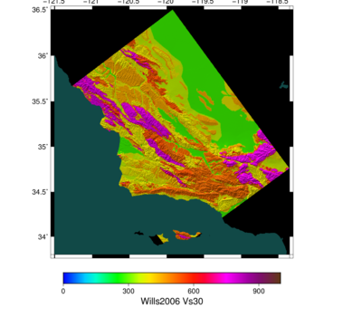
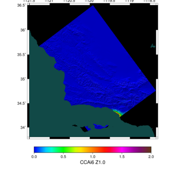
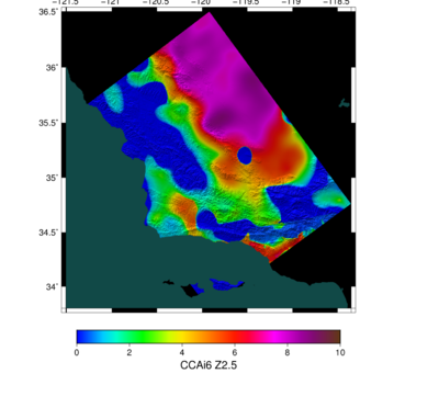
Jump to navigationJump to searchBelow are various Central California GMPE Maps.
We did a comparison between a 200 km cutoff and a 500 km cutoff; we don't see much difference.
File:Central CA GMPE 3s 200vs500 diff.png Difference between 200 and 500 km cutoff maps (200-500) |
File:Central CA GMPE 3s 200vs500 ratio.png Ratio between 200 and 500 km cutoff maps (200/500) |
