UCVM sfcvm geomodelgrid
From SCECpedia
Jump to navigationJump to searchContents
UCVM with SFCVM
Software stack for supporting geomodelgrid based format:
- curl (curl-7.87.0)
- hdf5 (hdf5-1.10.9)
- openssl (openssl-3.0.8)
- proj (proj-8.1.1)
- sqlite (sqlite-autoconf-3400100)
- tiff (tiff-4.5.0)
SFCVM in UCVM
geomodelgrid based SFCVM is set with
    geomodelgrids_squery_setSquashing(sfcvm_geo_query_object, GEOMODELGRIDS_SQUASH_TOPOGRAPHY_BATHYMETRY);
    geomodelgrids_squery_setSquashMinElev(sfcvm_geo_query_object, SFCVM_SquashMinElev);
where SFCVM_SquashMinElev is default to -5000m (sfcvm is elevation based, depth is negative value)
NOTE: For locations that are below water, their geomodelgrids_squery_queryTopoBathyElevation() could return a NA value and so a grid height is added across the board to always have an usable value.
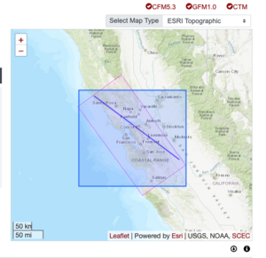
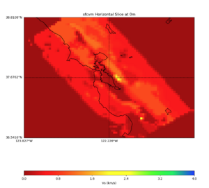
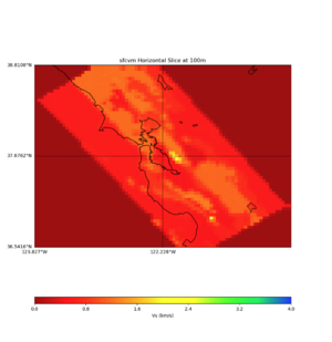
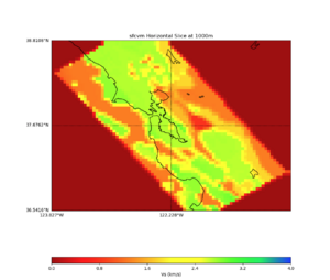
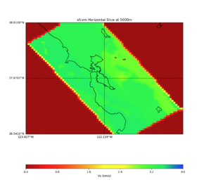
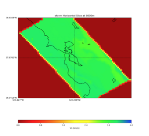
Plots
New command line option for model specific configuration
UCVM option:
-P Optional model configuration(model_param:key,value)
Example:
ucvm_query -l 37.455000,-121.941,3000 -m sfcvm -f ../../conf/ucvm.conf -P sfcvm_param:SquashMinElev,-5000.0
Allows multiple -P options,
ucvm_query ... -P cvmh_param:USE_1D_BKG,False -P cvmh_param:USE_GTL,False
