CyberShake SmartMap
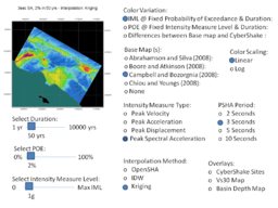
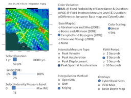
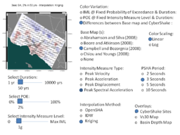
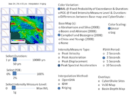
CyberShake SmartMap is a proposed GIS-based interface to the CyberShake Hazard Model (2009) and later. Current concept for the CyberShake SmartMap is to provide user with the ability to view collective CyberShake hazard information in map form, and to give the user the ability retrieve detailed hazard information for specific sites through a map-based interface.
Contents
CyberShake SmartMap Powerpoint Examples
This powerpoint presentation contains some User controls for CyberShake SmartMap. The radio buttons and sliders indicate user options they might use to define a map they want to see. There is an interdependency between some selections in these menus. Based on one user selection, other selections might be grayed out and not selectable.
CyberShake Maps
CyberShake Map API
We have defined a business delegate python class to make it easier for User Interface developers to query the CyberShake database. This interface define input parameters collected from the User Screen. The methods return lat,lon,z results, or lat,lon, site information, ready to be plotted on the a map.
   def get_standard_xyz_poe_map(self,standard_model_id,imt_type,iml,dur):
   def get_standard_xyz_iml_map(self,standard_model_id,imt_type,poe,dur):
   def get_cybershake_xyz_poe_map(self,cybershake_model_id,imt_type,iml,dur):
   def get_cybershake_xyz_iml_map(self,cybershake_model_id,imt_type,poe,dur):
   def get_Vs30_Map(self,model_id):
   def get_Basin_Depth_Map(self,model_id):
   def get_CyberShake_Sites(self,model_id):
   def get_station_sites(self,model_id):


