Difference between revisions of "CyberShake SmartMap"
From SCECpedia
Jump to navigationJump to search| Line 13: | Line 13: | ||
== CyberShake Maps == | == CyberShake Maps == | ||
| − | + | * [http://hypocenter.usc.edu/research/CSHM/CyberShake_ERF_v1.kml Google Earth (KML format) UCERF2.0 Fault Map] | |
* [http://hypocenter.usc.edu/research/CSHM/CyberShake_v1.0_sites.kml Google Earth (KML format) CyberShake Site Map] | * [http://hypocenter.usc.edu/research/CSHM/CyberShake_v1.0_sites.kml Google Earth (KML format) CyberShake Site Map] | ||
Revision as of 19:51, 17 March 2011
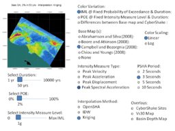
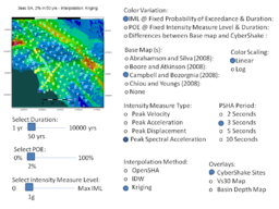
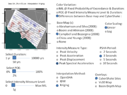
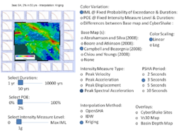
CyberShake SmartMap is a proposed GIS-based interface to the CyberShake Hazard Model (2009) and later. Current concept for the CyberShake SmartMap is to provide user with the ability to view collective CyberShake hazard information in map form, and to give the user the ability retrieve detailed hazard information for specific sites through a map-based interface.
CyberShake SmartMap Powerpoint Examples
This powerpoint presentation contains some User controls for CyberShake SmartMap. The radio buttons and sliders indicate user options they might use to define a map they want to see. There is an interdependency between some selections in these menus. Based on one user selection, other selections might be grayed out and not selectable.


